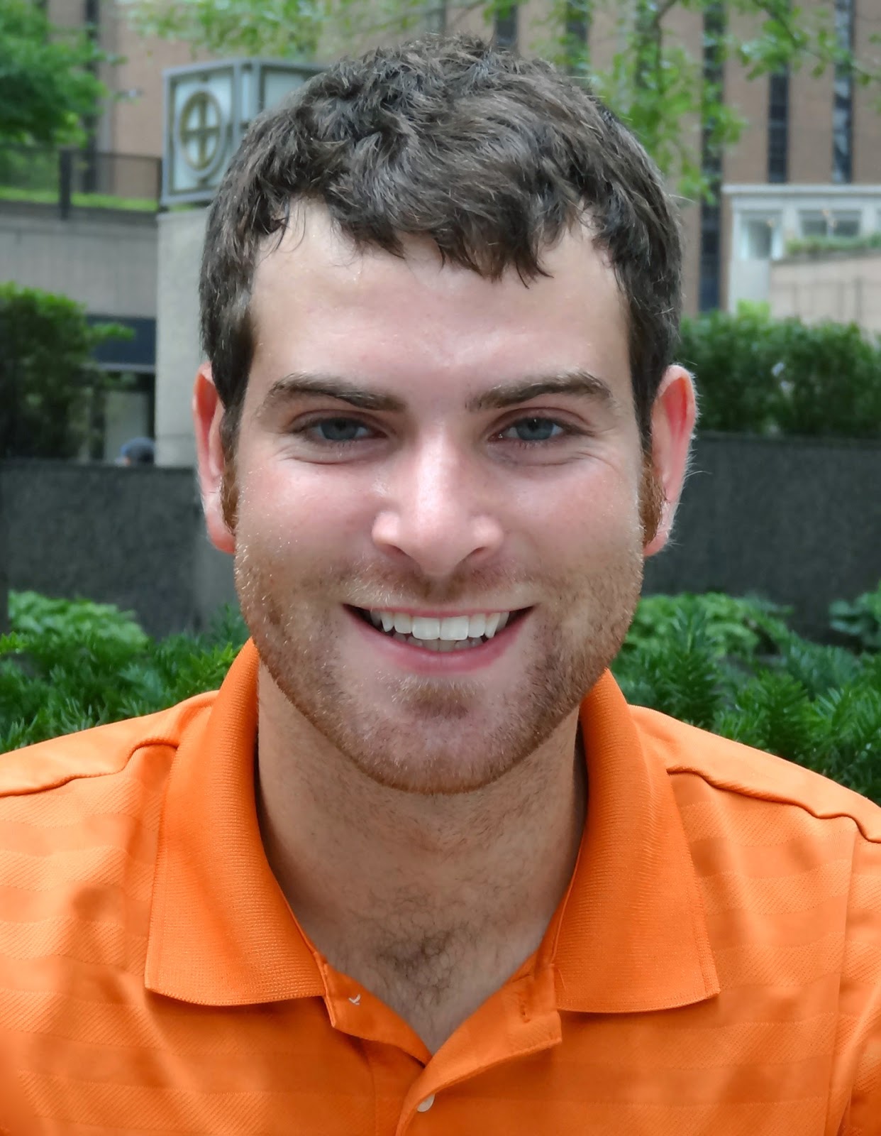
Our summer internship program has wrapped up for another year. This summer, seven students and recent graduates worked with our specialists on a broad range of issues, including AIS prevention, sediment remediation, and water supply planning. Jacob Wood spent his internship working with several members of our Purdue staff. He had this to say about his summer experiences:
“I applied for the IISG internship because I wanted to get more experience with GIS work related to the environment. And that is exactly what I got.
I spent most of the summer creating GIS maps that represent fish catch data for Lake Michigan so that local fisherman can get a better idea of fishing trends and hotspots. The overall goal is to make a web app to helps users determine the historically-best spots to catch fish like Chinook salmon and Lake Trout during a specific time of year. Towards the end of the summer, I also started working on maps representing climate change predictions for Lake Michigan. These maps will go towards aiding fisheries managers in understanding future biotic and abiotic conditions. Lastly, I worked on incorporating updated stream and land coverage data into the tipping points webtool, which shows individuals and planning groups how close a watershed is to known tipping points or ecosystem thresholds.
One of the things I liked the most about my internship is that I was encouraged to explore the software I was working with and any information related to the projects. Rather than just focusing on completing a job or making a deadline, I was able to set aside some time each week to discover different aspects of software and just try learning new things. Because of this, I developed numerous GIS skills this summer. Specifically, I have a stronger grasp now of how to use model building features to make work faster, easier, and replicable, as well as how to make maps that represent data clearly for everyone.”
Jacob is now a senior at Purdue University studying environmental and natural resources engineering. After graduation, he hopes to work as an environmental engineer with an agency like the Natural Resources Conservation Service or the Indiana Department of Natural Resources.
